 The food forest at Eerbeek. Photo Sverre van Klaveren
 Planting a food forest, restoring a stream to its natural course or constructing new dunes: these are all examples of nature-based solutions, measures that protect or improve nature and also provide solutions for issues facing society. WUR researchers have created an overview of such nature measures in the Netherlands in collaboration with the readers of Nature Today.
The interactive map of the Netherlands was developed by asking visitors to the nature news website Nature Today about nature-based solutions in their locality or that they had heard of. Researchers at Wageningen Environmental Research made a selection from the more than 250 submissions. There was enough information on 55 nature measures to place them on the map and give more details.
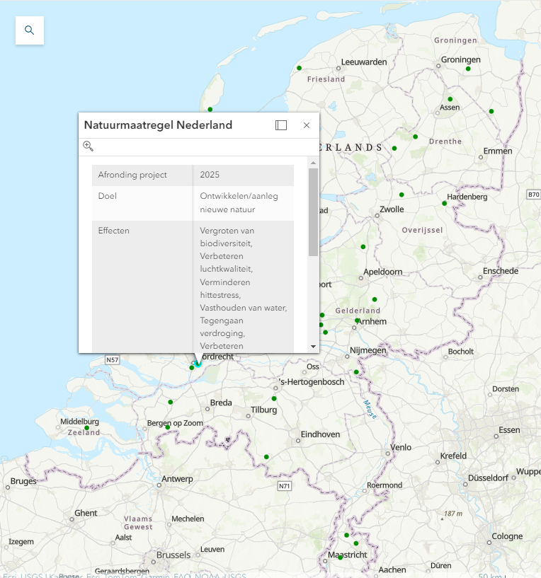
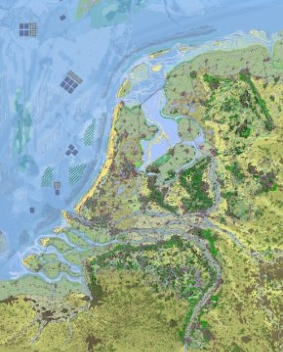
‘So the map doesn’t give a comprehensive overview of all nature measures,’ explains Climate Resilience researcher Daan Verstand. ‘It is mainly intended as a source of inspiration.’ It complements the map of the Netherlands in 2120, which sketches a future scenario for the Netherlands that is based on nature. ‘But we don’t have to wait a century for new initiatives; a lot is already going on in that regard and we are moving in that direction.’
By whatever method
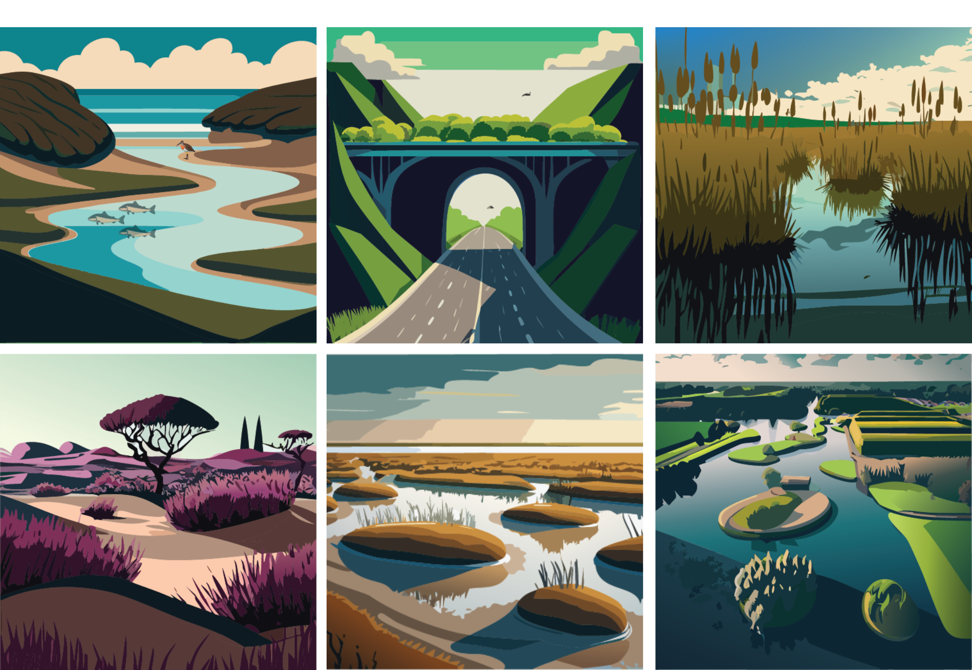
The nature measures shown in the map are very diverse, ranging from major projects such as reinforcing the dyke on Texel with new sand dunes to small-scale initiatives such as a neighbourhood garden or a nature cemetery. ‘If you want a society where nature plays a more central role, then you can get there by whatever method as long as you start doing something for nature,’ adds researcher Sverre van Klaveren. ‘The municipality or provincial authority can take measures, but you can also take action yourself in your back garden.’
The concept of nature measures is sometimes difficult for policy-makers to grasp. Where should you start?
Researcher Sverre van Klaveren
Van Klaveren visited Vechtpark in Harderberg and the food forest in Eerbeek to talk to the initiators about what inspired them, how their project started and what they needed to get going. These examples are available as longer reads along with the map. ‘The concept of nature measures is sometimes difficult for policy-makers to grasp. Where should you start?’
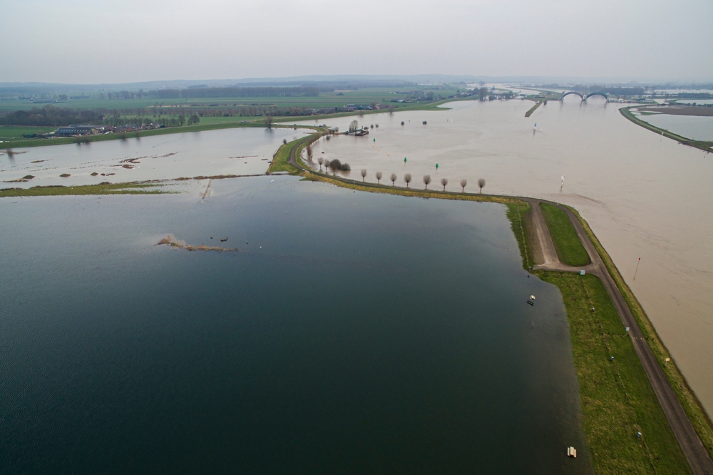
Verstand: ‘At present, there are still a lot of technical, ‘grey’ measures, although policy-makers are also looking at things such as changing the course of streams to prevent drought. Changing the course of streams has become a hot topic in the Netherlands since 2018, not just among the general public but also among farmers. Other measures, such as the incorporation of natural elements in the agricultural landscape or making the landscape wetter, are less common. Hopefully this map will inspire people to try them.’
Over the coming years, the effects of various nature-based solutions will be studied and monitored as part of the NL2120 National Growth Fund project. ‘We want to get a better understanding of how the solutions work and how we can upscale them,’ says Verstand. ‘This map shows what is already possible, but we still need to extend that further.’